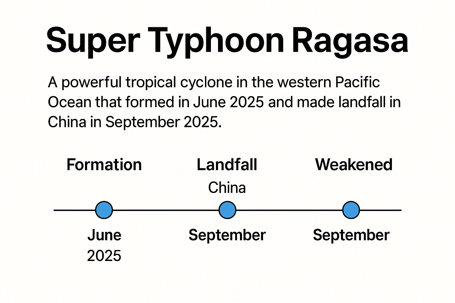
Timeline: What Happened
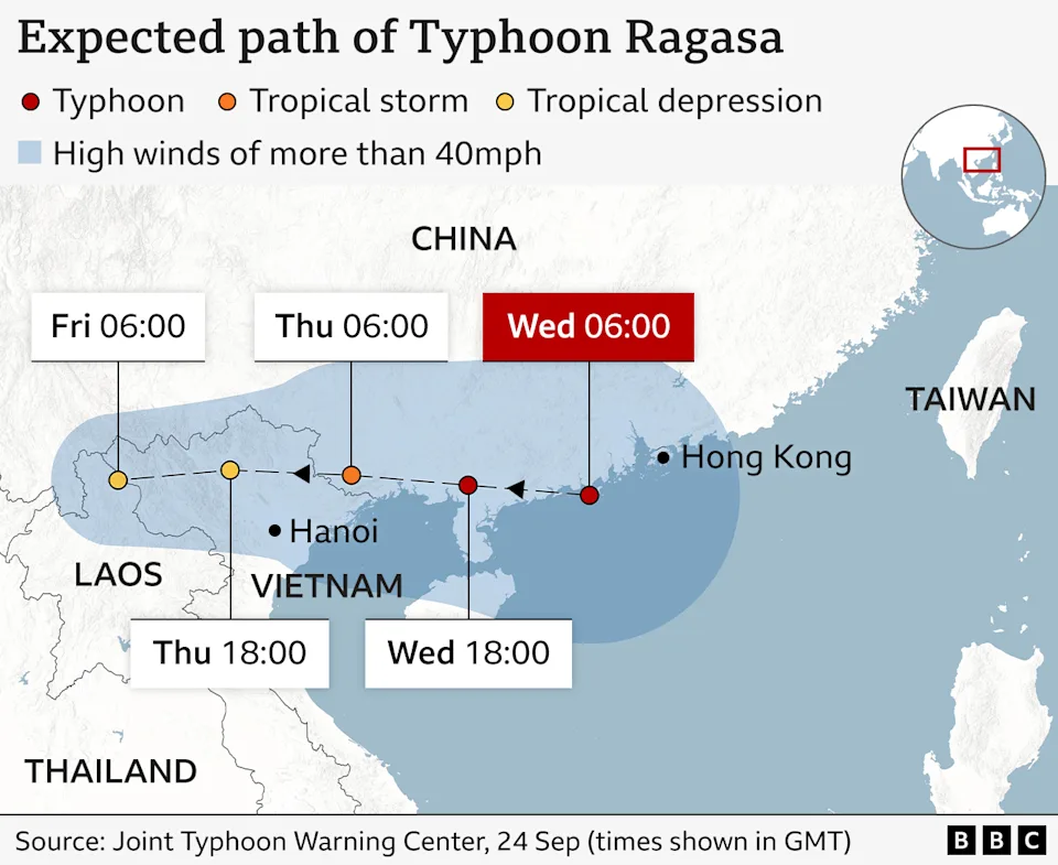
Around 5:00 p.m. on September 24 (Beijing time): The typhoon’s center made landfall along Hailing Island in Yangjiang, Guangdong Province. According to China’s meteorological authorities, it was at typhoon strength (not “super typhoon”) at landfall, with maximum sustained winds of about 40 m/s (144 km/h) near the center and a minimum central pressure of 955 hPa. It then weakened further as it moved inland westward.
Before and during landfall, Ragasa had already devastated northern Luzon in the Philippines, caused severe flooding in eastern Taiwan, and then swept across the Pearl River Delta region. Hong Kong issued its No. 10 Hurricane Signal in the early hours of September 24, shutting down the city, before downgrading to No. 8 during the day and No. 3 that night.
From “super typhoon” to typhoon: Ragasa reached the Category 5 super typhoon threshold near Taiwan (>260 km/h sustained winds), ranking among the world’s strongest cyclones in 2025. But it weakened rapidly approaching Guangdong due to dry air intrusion and land interaction, making landfall only at typhoon strength.